Coming back in my second year as race Marshall, I bring to you the high and low of the cross-trail run that will happen this coming weekend on November 10. As I did not manage to sign up on time for the race, I have to resort to the second best thing to do - help out in this race organise by Pacesetter Malaysia (with Salomon as the title sponsor).
Location
MAEPS or Malaysian Agro Exposition Park Serdang is located near Putrajaya. The easiest way to get there if you are based in PJ or Puchong is via the LDP and turn left at SKVE highway fork (going right is to Cyberjaya/Putrajaya/MEX) and keep left. After passing the Shell station on your left, about 800m is the exit which you can see a huge sign with EXIT 5 on it. That is Gate 2 of MAEPS.
If you are coming from Serdang, it is after the Serdang Hospital and Putrajaya turn-off.
 |
| Don't get lost |
As you enter MAEPS and passed the guard house, there is a large open air carpark on your left (about 100m) and you can park there. Cross the road and head over to the Starting line.
 |
| Parking |
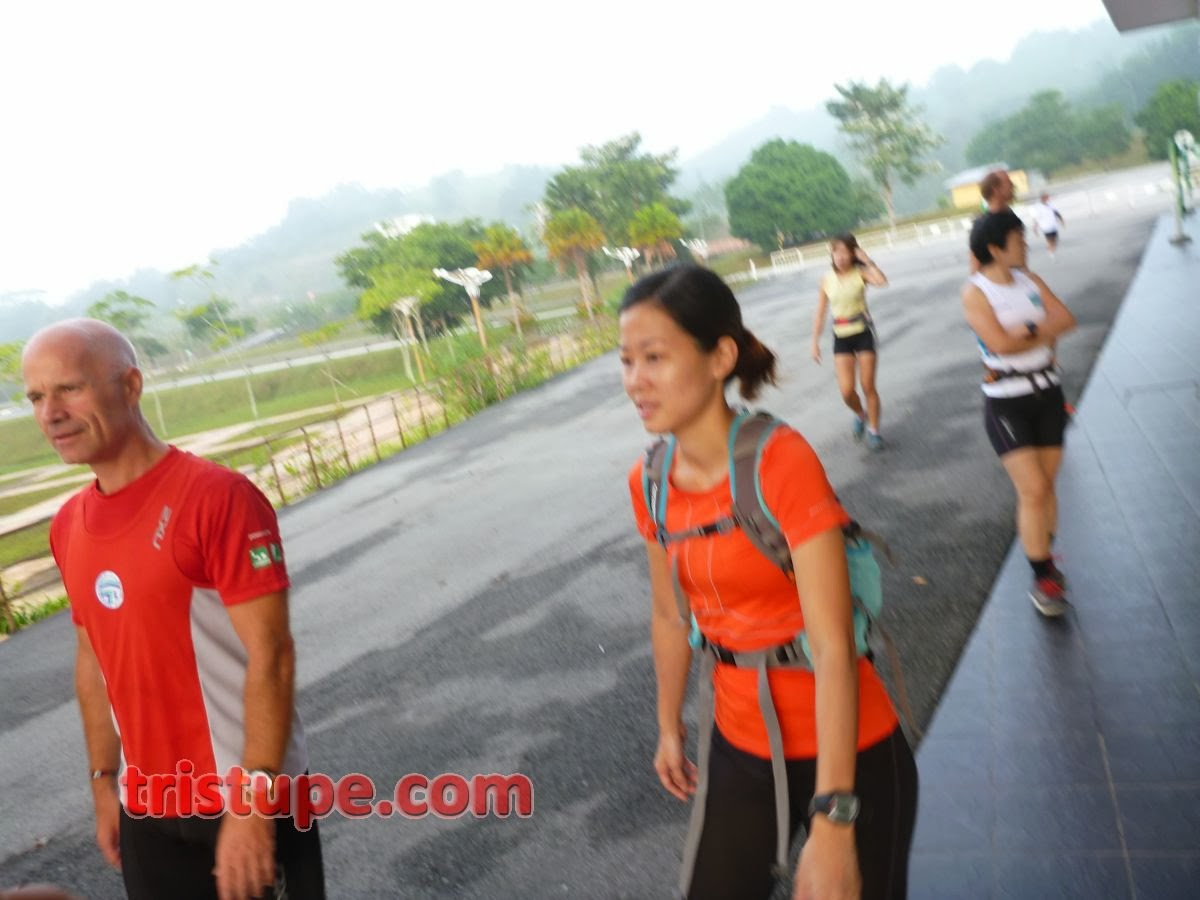
 |
| The usual suspects |
The starting and finishing line is this arch at MAEPS. On race day, it will be festive like. ON the day we recce, we made it festive like (without being chased off by the guards)
 |
| The race route, lies beyond... |
One thing to note, the place is well equipped with toilet and Surau. So you can come earlier if you wish to pray before the race start, or to do your business. As the place is well maintained (under-utilised actually), do practice care to keep the place clean and not litter or dirty it.
Race Route
The race will start with about 1.5km worth of tarmac (and end with about 1.5km of the same). This was done as to separate the faster runners at the start. The race received the full 2,500 participants signing up and expected at least 80% turn-out. That is a cool 2,000 people trampling in MAEPS.
 |
| Tarmac. Road will be completely closed to traffic |
The road run will bring you pass the Pineapple research centre, the aquatic centre and a paddy field. Then you will run flanking two lakes before heading toward the trail-head.
 |
| Lake 1 |
 |
| Lake 2 |
You will arrive at a large crossing-bridge and that marks the end of the tarmac section as you will not turn right into the trail.
 |
| You put a fast runner in the recce and she will smile while running |
The trail condition is a mix gravel, silts, grass and limestone surface. What this really meant is expect the route to be slippery if the current rain (in evening) condition persist. This is also the best opportunity to test if your trail shoes live up to it's name.
 |
| The Fun now begin |
Don't be fooled by the first 500m of the trail, as the route then starts to climb. It will be a 10degree climb (100m elevation over 1km distance) and it will takes your breath away, literally. So pace yourself when running up.
 |
| Climb begin |
 |
| You can see the body position (Puh Heng) and the MTB (Esther) going up the slope |
Compared to the 2012 route, the 2013 will take the cake.
 |
| The Climbs. |
So, get ready and have the cake, and eat it too. :)
 |
| After a climb, you have yet another climb... |
 |
| And another |
 |
| "Now, shall we speed all the way down?" |
 |
| A bit of "easier" route. Some downhill... |
 |
| What goes down, will go up (later) |
 |
| Fast downhill...careful! Slippery! |
 |
| Yes, what goes up, will come down...eventually |
 |
| Making the Marshall (with big quads) Jump |
 |
| Grassy patch |
All in all, the route is pretty challenging. I reckon if you can complete a 10km on tarmac within 60minutes, you may have to slog it here for perhaps 75mins. If your 10km is 1:30, be prepared for a sub-2hours workout.
Water stations are planned at a few locations. The route will cross the same point twice and it is important that you as the participants adhere to the need of the race and not cut short your race. Markers of some sort will be given out and Marshall will be watching.
 |
| We punish with you having to hold a durian |
Yes, you will be running past orchards and you won't be able to savour these durians as it's not ripe yet. :P
 |
| Careful of this Mat Salleh. He chase you down for breakfast |
During the race recce, the Marshall completed the route within 58mins (moving) and spent about 20mins marking and familiarising the route to understand where will the critical points where even the Marshall may have to get down to push the bike up the climbs. Yes, it's that demandingly-tough.
If you have a Garmin device and want to upload this into your device, this is the link to the course, which you can then send to your watch as a course or workout. Salomon X-Trail 2013 Route
 |
| You come from the right, go into the middle path and exit at the left path. Water station and Checkpoint 1 is here |
Some Tips:
1. Bring or apply mosquitoes repellent. You will need this especially when you are not moving.
2. Walk up those hills if they are too hard to run. Safety over ego! Remember!
3. You don't need specific trail shoes here as the ground can be ran using normal running shoes. Just be mindful of what you step on or slippery surfaces.
4. DO NOT LITTER! Keep the place clean. If you are taking a nutrition or gel or bar, please bring the wrappers out as well!
5. DO NOT TAKE SHORT CUT. Finish the run like everyone does. The route passes the same point twice and follow the marshall's directive and take the correct route!


This comment has been removed by the author.
ReplyDeleteThanks for the route heads-up!
ReplyDeleteSee you sunday!
Delete